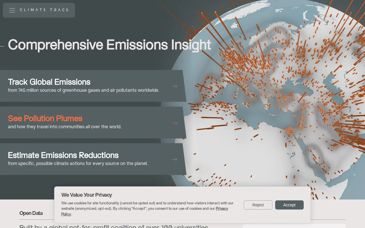
Climate TRACE Review — Emissions Mapping
Estimate global greenhouse gas emissions with satellite imagery and sensor data for transparent climate insights.
A valuable open data platform for transparent, global emissions monitoring with strong public access.
- Open access to granular emissions data
- Combines satellite and sensor inputs effectively
- Supports global facility and sector-level monitoring
- Limited to emissions data, not full AgTech solutions
- No dedicated crop health or farm management features
Is Climate TRACE Right for You?
A quick checklist to help you decide.
Ideal for: Researchers, policymakers, and NGOs requiring transparent, granular greenhouse gas emissions data worldwide.
Less suited for: Users seeking comprehensive agricultural AI tools for crop monitoring or farm management should look elsewhere.
Bottom line: The most important factor is the need for detailed, transparent emissions data at facility and sector levels.
AI-assessed from 3 sources.
Pros
Cons
Free
Free public access to emissions data
- Access to public emissions datasets
- Use of online portal
Offers free public access to emissions data and datasets; advanced features or enterprise options not publicly detailed.
What is this tool?
How much does it cost?
Does it have a free plan?
What integrations does it support?
Who is it best for?
No reviews yet. Be the first to review Climate TRACE!
Scores are calculated algorithmically from feature coverage, pricing, user feedback & benchmark data — not influenced by commercial relationships. How we score → · Vendor Data Policy