GeoPard Agriculture logo
Rank #1188
AGRICULTURAL DATA INSIGHTS FREEMIUM CLOUD #2 in Agricultural Data Insights

GeoPard Agriculture Review — Crop Planning Insights

GeoPard Agriculture delivers actionable data insights for smarter crop planning and farm management.

8 monthly visitors 8 page views (30d)
Reviewed by Volvenix Editorial
7.5
Volvenix Verdict
AI-powered editorial review
GeoPard Agriculture
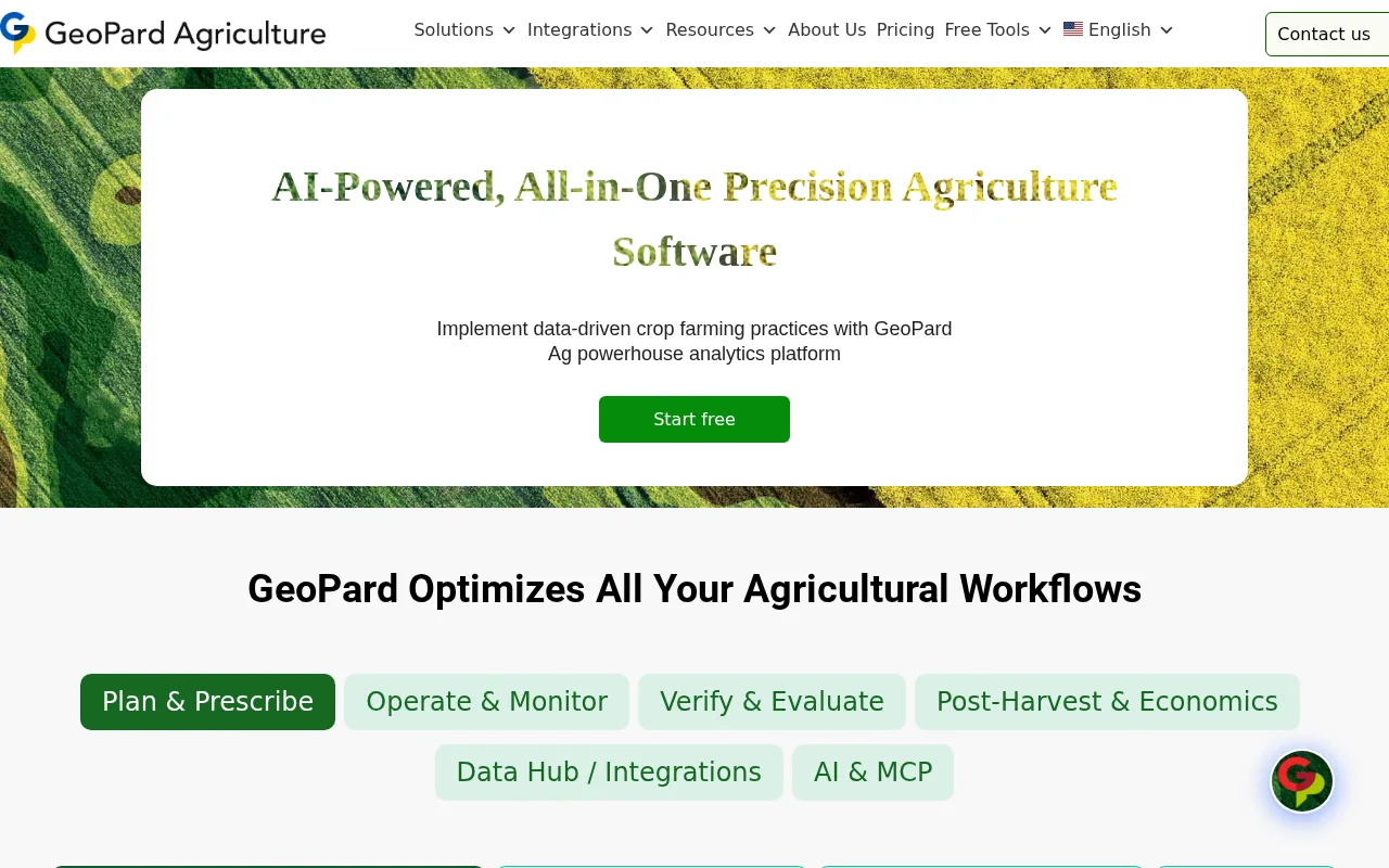
A solid tool for data-driven crop planning with strong satellite and weather data integration.
PROS
  • Strong satellite imagery integration
  • Real-time weather data incorporation
  • Actionable insights for crop planning
  • User-friendly data visualization
  • Supports sustainable farm management
CONS
  • No dedicated mobile app available
  • Limited automation features

Is GeoPard Agriculture Right for You?

A quick checklist to help you decide.

You want to improve crop yields using satellite and weather data insights.
You need a mobile app for farm management on the go.
You need detailed, real-time agricultural data for informed farm decisions.
Free-tier limits are a blocker for your data analysis needs.
Your team requires tools focused on crop planning and farm management.
You require fully automated farm operations without manual input.

Ideal for: Farmers and agronomists who want to leverage satellite and weather data for precise crop planning and farm management.

Less suited for: Users seeking fully automated farm management or mobile-first solutions may find this tool less suitable.

Bottom line: The quality and integration of real-time satellite and weather data for actionable agricultural insights.

Editorial Review AI-generated
GeoPard Agriculture excels in delivering precise agricultural data insights that help farmers optimize crop planning and management. Its integration of satellite imagery and weather data provides valuable real-time information, enhancing decision-making. However, the platform may have a learning curve for users unfamiliar with geospatial data. It is best suited for farmers and agronomists seeking data-driven approaches but less ideal for those needing extensive automation or mobile app support.

AI-assessed from 3 sources.

Pros & Cons

Pros

Comprehensive satellite imagery integration
Real-time weather data support
Clear and actionable agricultural insights
Supports sustainable farming practices
User-friendly interface for data visualization

Cons

No dedicated mobile app moderate
Workaround: Access via responsive web platform on mobile browsers
Limited automation capabilities minor
Who Is It For & What Can It Do
Best For
Individual / Freelancer Small Business (1–10) SMB (11–200) Intermediate curve
AI Capabilities
Crop Health Monitoring Data Analysis Memory Tool Calling
Key Features
Satellite Imagery Integration
Provides up-to-date satellite data for crop monitoring
Weather Data
Incorporates real-time weather information for planning
Crop Planning Tools
Tools to assist with crop rotation and planting schedules
Farm Management Dashboard
Centralized dashboard for farm data visualization
Sustainability Insights
Supports sustainable farming decisions
Best Use Cases
Crop planning and rotation optimization Real-time crop health monitoring Weather impact analysis on crops Farm resource allocation Sustainable agriculture decision support
Available Platforms
Web App
Inputs & Outputs
Textinput Imageinput Textoutput Imageoutput
Supported Languages
English
Security & Compliance
Compliance Standards
GDPR
Privacy · EU
Pricing Plans

Free

Best for individuals

Free
 
  • Basic satellite data access
  • Limited crop planning tools

Offers a free plan with basic features and paid subscriptions for advanced data access and tools.

Price Range
Free $0–$0
Support Channels
Email
Did you find this page helpful?
Frequently Asked Questions
What is this tool?
GeoPard Agriculture provides real-time agricultural data insights to improve crop planning and farm management.
How much does it cost?
GeoPard Agriculture offers a free plan with basic features; pricing for advanced features is available upon request.
Does it have a free plan?
Yes, there is a free plan with limited access to satellite data and crop planning tools.
What integrations does it support?
The platform integrates satellite imagery and weather data; no other third-party integrations are publicly listed.
Who is it best for?
It is best suited for farmers and agronomists seeking data-driven crop planning and farm management solutions.
User Reviews

No reviews yet. Be the first to review GeoPard Agriculture!

Write a Review
Discussion
No discussions yet. Start the conversation!
0 tools selected
Compare Now →
GeoPard Agriculture Visit Tool