Kepler.gl Review — Geospatial Visualization
Build high-performance, interactive maps for extensive location datasets.
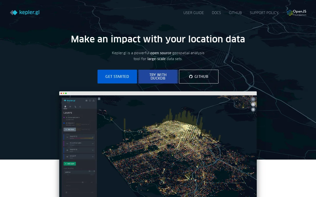
A powerful tool for geospatial visualization with a user-friendly interface.
- User-friendly interface for map creation
- Handles large datasets efficiently
- GPU-accelerated for fast performance
- Limited advanced analytical features
- No offline capabilities
Is Kepler.gl Right for You?
A quick checklist to help you decide.
Ideal for: Data analysts and GIS teams needing to visualize large geospatial datasets interactively.
Less suited for: Skip this tool if you require advanced analytical capabilities beyond visualization.
Bottom line: The ability to create interactive maps from extensive geospatial data.
AI-assessed from 4 sources.
Pros
Cons
Free
Best for individuals
- Interactive map creation
- GPU-accelerated performance
Kepler.gl is free to use, making it accessible for individuals and teams.
What is this tool?
How much does it cost?
Does it have a free plan?
What integrations does it support?
Who is it best for?
No reviews yet. Be the first to review Kepler.gl!
Scores are calculated algorithmically from feature coverage, pricing, user feedback & benchmark data — not influenced by commercial relationships. How we score → · Vendor Data Policy